



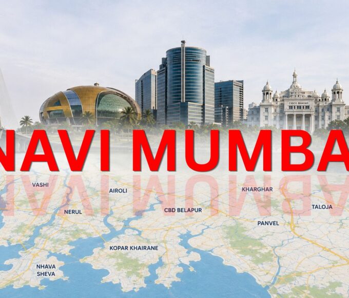

Mumbai is known for its busy roads, tall buildings, financial centres and fast-paced lifestyle. But beside that city that was created with a very different idea in mind is Navi Mumbai.
Instead of growing naturally around an old city centre, Navi Mumbai was planned from the beginning. Roads, railway lines, residential areas, business districts, industrial zones, schools, hospitals, open spaces and public facilities were designed as parts of a larger urban system. This planned approach is one of the main reasons why Navi Mumbai is different from many other cities in India.
Today, Navi Mumbai has developed into an important residential, commercial, industrial and transport hub in the Mumbai Metropolitan Region. Its importance has grown further with major projects such as Atal Setu, the Navi Mumbai International Airport, metro connectivity and continued regional infrastructure development.
Where Is Navi Mumbai Located?
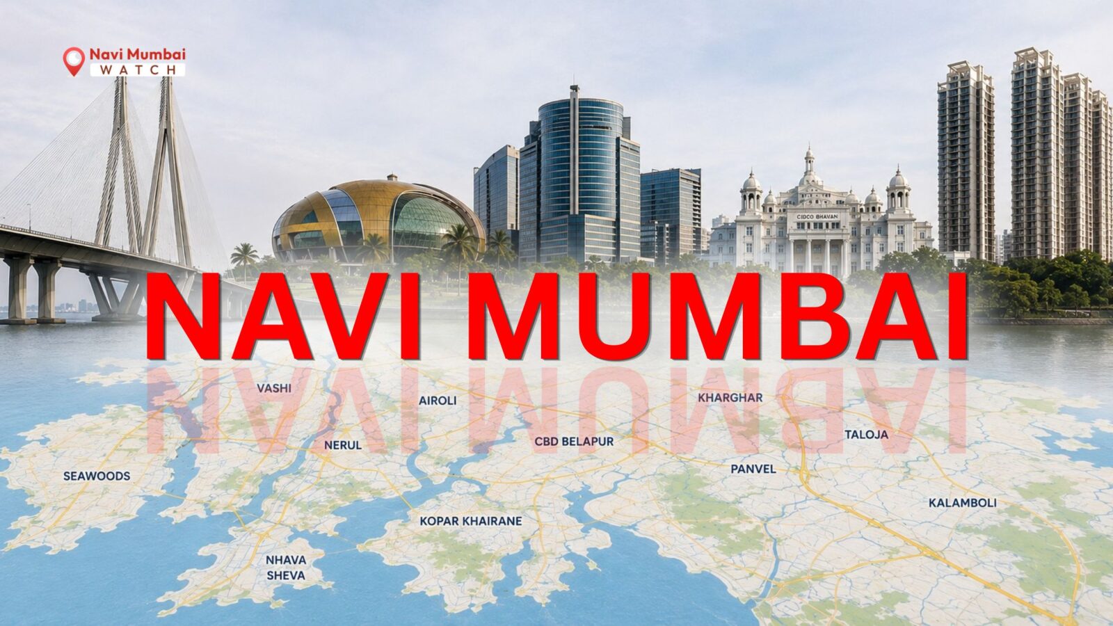
Navi Mumbai is located on the mainland across Mumbai Harbour, in the eastern and south-eastern part of the Mumbai Metropolitan Region.
It is separated from Mumbai by Thane Creek and Mumbai Harbour, while the surrounding region connects it with Thane, Panvel, Uran and other parts of Maharashtra. The larger Navi Mumbai development covers areas across parts of the Thane and Raigad districts. CIDCO records the planned Navi Mumbai area at about 344 square kilometres, extending across the talukas of Thane, Panvel and Uran.
Its location is one of its biggest strengths. Navi Mumbai is close to:
- Mumbai
- Thane
- Panvel
- Uran
- Jawaharlal Nehru Port
- Mumbai–Pune Expressway
- Mumbai–Goa Highway
- Navi Mumbai International Airport
- major industrial and logistics zones
How and Why Was Navi Mumbai Planned?
ne of the most interesting things about Navi Mumbai is that it was planned before it became a major urban centre.
Mumbai was facing increasing pressure from population growth, limited land availability and congestion. The idea was to develop a new city across the harbour that could absorb population and economic activity while providing better physical and social infrastructure.
CIDCO: City and Industrial Development Corporation of Maharashtra Limited was established on 17 March 1970. It was given the responsibility of developing new urban areas in Maharashtra, including Navi Mumbai.
CIDCO developed Navi Mumbai as a network of 14 planned nodes or townships. These include:
- Airoli
- Ghansoli
- Kopar Khairane
- Vashi
- Sanpada
- Nerul
- CBD Belapur
- Kharghar
- Kamothe
- New Panvel
- Kalamboli
- Ulwe
- Dronagiri
- Pushpak
What Makes Navi Mumbai a Planned City?
The word “planned” is often used when talking about Navi Mumbai, but what does it actually mean? Residential areas were planned alongside roads, railway stations, markets, schools, hospitals, commercial areas and open spaces.
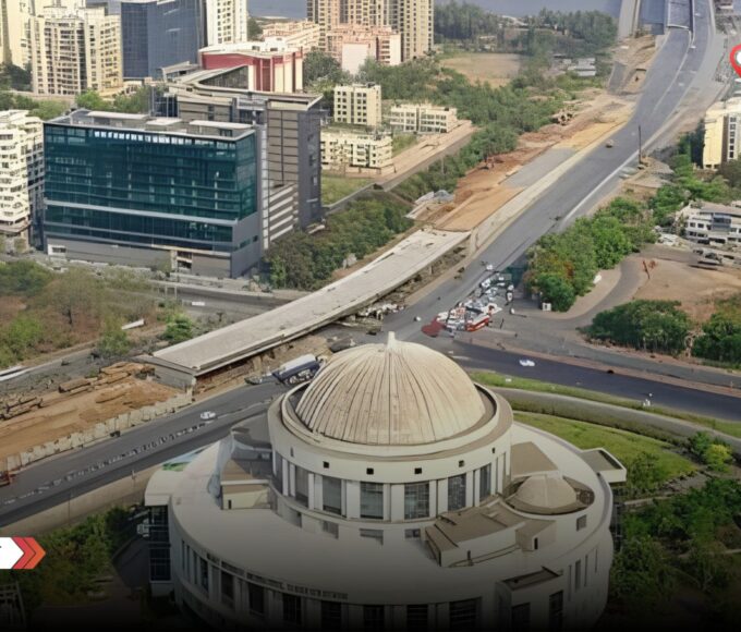
For example, CBD Belapur developed as a major administrative and business district, while Vashi became an important commercial and transport centre. Nerul and Kharghar developed as major residential and educational areas, while Airoli and Ghansoli became important employment and business locations.
Navi Mumbai Infrastructure
Infrastructure is one of the biggest reasons behind Navi Mumbai’s growth.
Road Infrastructure
- Sion-Panvel Highway
- Thane-Belapur Road
- Palm Beach Road
- Mumbai-Pune Expressway connection
- Mumbai-Goa Highway connection
- Atal Setu
- internal node roads and arterial roads
Railway Connectivity in Navi Mumbai
The suburban railway network connects important nodes such as Vashi, Sanpada, Nerul, Belapur, Kharghar and Panvel with Mumbai and other parts of the metropolitan region. The combination of railway stations, major roads and commercial areas allows different nodes to function as connected urban centres
Learn more: Mumbai Trans Harbour Link
Navi Mumbai Metro
The Belapur–Pendhar Metro corridor has added another public transport option within Navi Mumbai, particularly for areas around CBD Belapur and Kharghar. The objective is not simply to build more roads. A modern city also needs efficient public transport so that people can move between homes, workplaces, schools and commercial centres without depending entirely on private vehicles.
Learn more: Navi Mumbai Airport Metro
Navi Mumbai International Airport
the biggest new development changing the identity of Navi Mumbai is the Navi Mumbai International Airport (NMIA). The greenfield Navi Mumbai International Airport was inaugurated in October 2025 and commenced operations later that year. According to Adani Enterprises, international operations began on 15 July 2026.
Major Areas and Nodes of Navi Mumbai
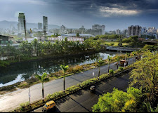
Vashi: Vashi is one of the best-known and most established parts of Navi Mumbai. It is an important commercial, residential and transport centre. Its location near the Mumbai connection makes it a popular choice for people who regularly travel between Mumbai and Navi Mumbai.
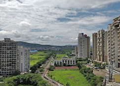
Sanpada: Sanpada is located close to Vashi and has strong railway and road connectivity. It is primarily known as a residential area with easy access to commercial centres.
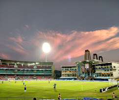
Nerul: Nerul is a major residential node with educational institutions, sports facilities, open spaces and railway connectivity.
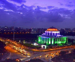
CBD Belapur: CBD Belapur, or Central Business District Belapur, is one of the major planned business and administrative centres of Navi Mumbai.
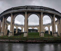
Kharghar: Kharghar has become one of Navi Mumbai’s prominent residential and educational areas. It is known for its planned roads, larger open spaces and proximity to the hills. The area has also attracted educational institutions and commercial development.
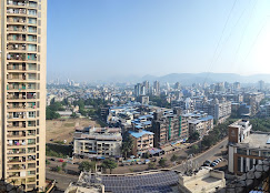
Airoli: Airoli is an important employment and residential hub on the northern side of Navi Mumbai. Its proximity to Thane and Mumbai makes it attractive to professionals working in the wider Mumbai-Thane business corridor.
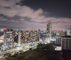
Ghansoli and Kopar Khairane: These areas have developed strongly as residential and employment centres, with business parks and commercial activity adding to their importance.
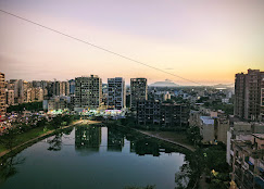
Ulwe: Ulwe has gained attention because of its location close to the Navi Mumbai International Airport and major regional connectivity projects.
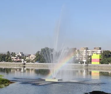
Panvel and New Panvel: Panvel acts as an important gateway between Navi Mumbai and the Mumbai-Pune region, while New Panvel has developed as a major residential and transport centre.
Business and Economic Importance of Navi Mumbai
Navi Mumbai is not only a residential city. It has a diverse economic base that includes business services, information technology, manufacturing, logistics, port-related activity, retail, education, healthcare and real estate.
CIDCO has identified industrial, commercial and port-related activity as important parts of Navi Mumbai’s economic base. Its location between Mumbai, the port, highways, railway networks and the airport makes Navi Mumbai particularly important for logistics and trade.
Important economic areas include:
- Airoli business and technology areas
- Vashi commercial markets
- CBD Belapur business district
- Thane-Belapur industrial belt
- Taloja industrial area
- Jawaharlal Nehru Port region
- Panvel and surrounding logistics areas
- airport-related development zones
Education and Healthcare
Kharghar, Nerul, Belapur, Vashi and other nodes have become important education and healthcare destinations. CIDCO’s planning model included educational, health, social, cultural and recreational facilities within the different nodes. This is an important part of why many people choose Navi Mumbai as a place to live rather than simply treating it as a suburb of Mumbai.
Green Spaces and Quality of Life
Another feature that makes Navi Mumbai stand out is its combination of urban development and open spaces. The city’s planning included gardens, recreational areas, landscaped roads and green zones. The presence of hills, creeks, mangroves and other natural features also gives different parts of Navi Mumbai a distinct landscape.
Why Is Navi Mumbai Important for the Future of Mumbai?
Mumbai has limited land and extremely high development pressure. Navi Mumbai provides additional space for homes, businesses, industries, transport infrastructure and new economic activity. Improved connectivity is making the distance between the two cities feel smaller.
Atal Setu has improved road connectivity. Railway services provide mass transport. Metro networks are expanding. The new airport adds a major aviation gateway. Together, these projects are changing Navi Mumbai from a planned satellite city into a major metropolitan centre.

Leave a comment